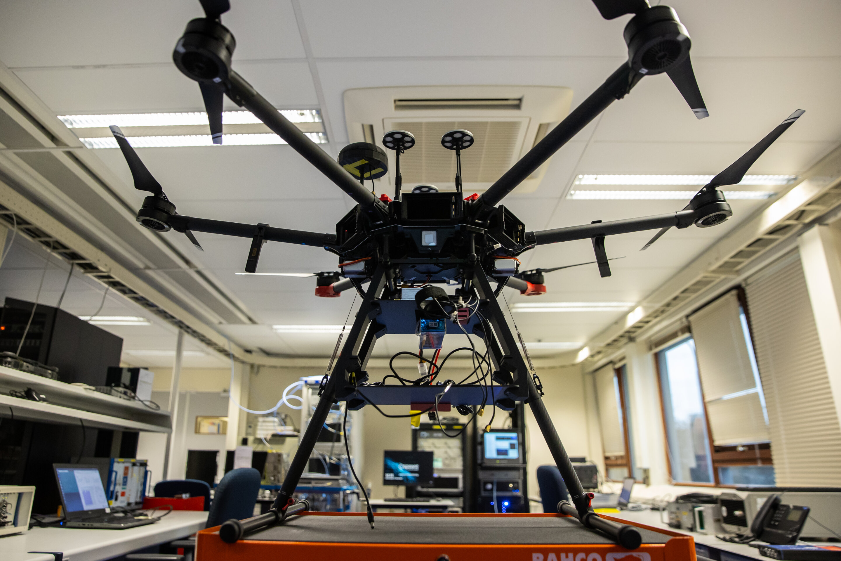

ESA’s Navigation Laboratory has a new recruit: this drone can carry different types of satellite navigation receivers to collect data for follow-on analysis.
The NavLab, based at ESA’s ESTEC technical center in Noordwijk, the Netherlands, is focused on the testing, analysis and characterisation of navigation systems for both ESA and external customers.
With drones representing a rapidly-expanding satnav user base, this is a timely addition to the NavLab’s suite of platforms for the testing of Global Navigation Satellite System (GNSS) technologies and techniques—also including static, mobile and pedestrian platforms and a pair of test vans.
Along with receivers and antennas, the drone can also host radio-frequency spectrum samplers and support equipment such as inertial sensors and stereo cameras, allowing the assessment of performance in specific dynamics and environments related to specific “Uncrewed Aerial Vehicle’ applications, such as approach, landing, flying beside buildings or indoors.
Image: Roof of the satnav world
Citation:
ESA drone carries satellite navigation receivers to collect data (2022, February 10)
retrieved 10 February 2022
from https://techxplore.com/news/2022-02-esa-drone-satellite.html
This document is subject to copyright. Apart from any fair dealing for the purpose of private study or research, no
part may be reproduced without the written permission. The content is provided for information purposes only.
For all the latest Technology News Click Here
For the latest news and updates, follow us on Google News.