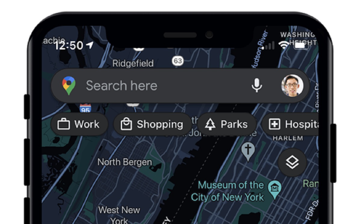
Over the years, Google Maps has evolved into far more than just a navigation tool. You can use the app to see how busy businesses are in your area, check ratings for local restaurants, or share your location with others. Google continues to add features on a regular basis, and earlier this month, the company added a new Air Quality layer to the app.
How to find the Air Quality layer in Google Maps
Knowing the air quality conditions of a place you plan to visit can be useful. That knowledge could help you decide which days to stay indoors and which to go out. Of course, you might not always know where to find that data. That’s why Google has built it into one of its most popular apps. Now, the Air Quality Index (AQI) is always just a few taps away.
Here’s how you can access the Air Quality layer in Google Maps on iOS and Android:
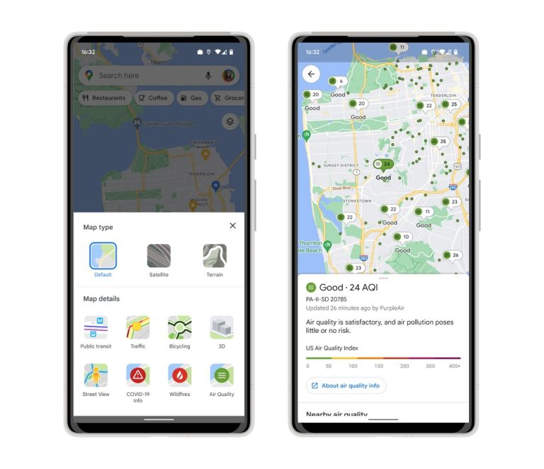
- First, tap on the layer button in the top-right corner of the app (which sits below the search bar and looks like two squares stacked on top of one another).
- Next, look for the Air Quality button in the “Map details” section of the menu.
- Tap on the Air Quality button and then X out of the menu to update the map.
You can now check the AQI all across the United States, down to specific neighborhoods. For example, here in Queens, New York, the AQI is “moderate,” ranging from the mid-50s to the low-60s. Meanwhile, up in Syracuse, the AQI is good at 33. Google Maps also tells you when the AQI was last updated and offers guidance for outdoor activities.
Google offered some additional details about the Air Quality layer on its blog:
The air quality layer shows trusted data from government agencies, including the Environmental Protection Agency in the U.S. We are also showing air quality information from PurpleAir, a low-cost sensor network which gives a more hyperlocal view of conditions.
In addition to adding the Air Quality layer to Google Maps, Google is now showing air quality information from PurpleAir on Nest displays and speakers as well.
Other layers on Google Maps
Google also took the opportunity to remind users about its Wildfire layer.
As summer approaches, the threat of wildfires grows, and Google Maps can help you track them in real-time. The Wildfire layer works similarly to the Air Quality layer, with points of interest scattered around the map. Tap on a fire to get the latest information from the National Interagency Fire Center, helpful links, road closure reports, and top stories from local publications.
For all the latest Technology News Click Here
For the latest news and updates, follow us on Google News.